Nariinteel
| Province: | Uvurkhangai Province |
| Centre of sum: | Nariinteel, 135 km located from Arvaikheer. |
| Population: | 3'653 |
| Area: | 2702 km2 |
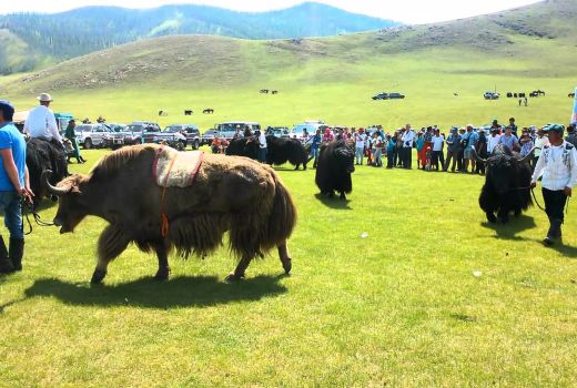
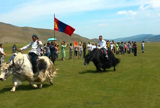
Nariinteel is a sum (district) of Uvurkhangai Province in southern Mongolia. Nariinteel sum was founded in 1931 and was formerly known as the Khan Hugshnii khoshuu of Sain Noyon Khan. There are 3653 people in 1008 households. Total area of 270170.0 hectares.
In western Uvurkhangai province:
- 556 km from Ulaanbaatar,
- 135 km from the province center.
In the west, Ulziit of Bayankhongor aimag, Uyanga of the province, north of Khairkhanulaan, and Baruunbayanbulag sum to the south.
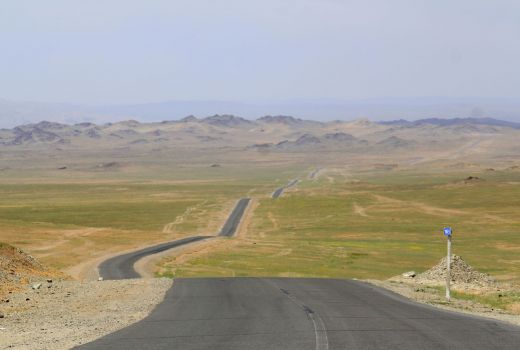
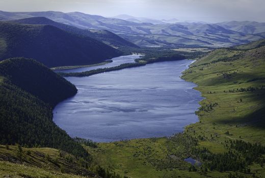
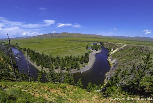
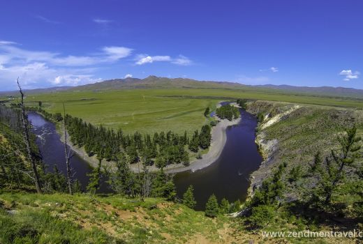
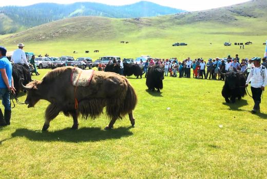
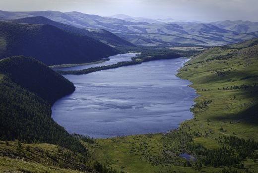
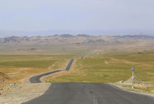
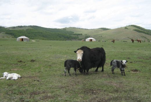
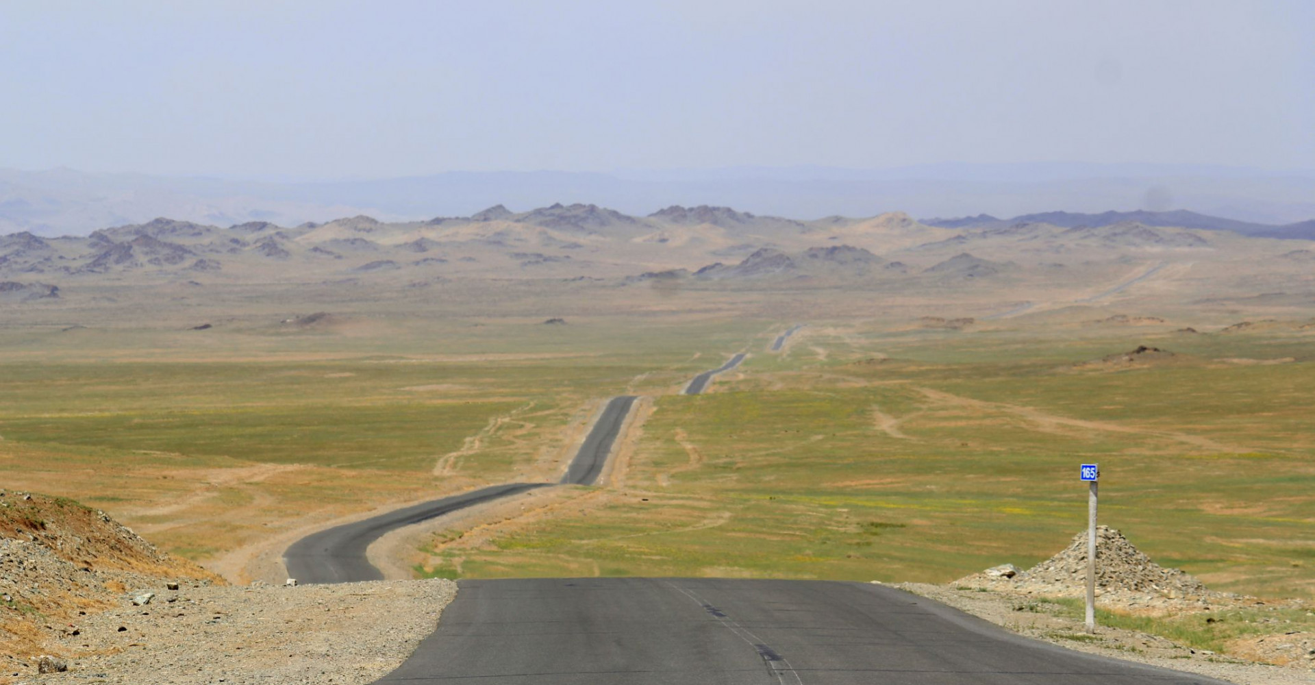
Physical geography is located in elevation and steppe zones within the Khangai mountain ranges.
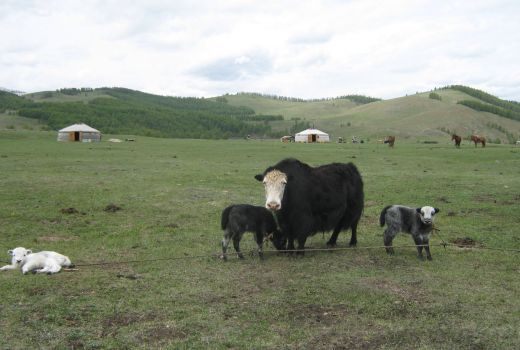
The sums are suitable for mountainous, steppe, steppe, livestock and crop farming.
It has a cool summer and harsh winter.
- Average January temperature - 22.3 ° C
- The average temperature in July is +19.6 ° C
Map
Take a look from map

